REVIEW · KINGSTOWN
La Soufriere Volcano Hike /Topdawg Tours
Book on Viator →Operated by Topdawg Taxi and Tours · Bookable on Viator
La Soufrière pulls you uphill fast. This hike on St Vincent’s volcano gives you the kind of high, wide views that make the climb feel worth it, especially on clear days.
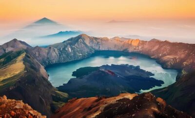
I love the crater-area payoff—at around 4,000 feet you can look out over Georgetown on the Windward coast and Chateaublair on the Leeward side. I also like the human side of the day: Topdawg Tours is led by guide Wayne, and the small group limit (15 travelers) helps the whole hike feel manageable and personal.
The main drawback is the reality check: this is a steep, energetic hike, and weather can turn fast. One guest had to turn back around 3,300 feet when conditions worsened, and the descent can be hard on tired legs.
In This Review
- Key things to know before you go
- Why La Soufrière from Kingstown feels like a real St Vincent day
- Starting at Mona’s Fine Cuisine Wharf: timing, pickup, and what the day looks like
- From the windward coast to the trailhead: plantations, heat, and getting your rhythm
- The crater climb: steep volcanic ridges, bamboo shade, and how to pace it
- Views at altitude: Georgetown, Chateaublair, and the long-distance Pitons option
- Continuing to the west side and Chateaublair: worth it, but the descent can bite
- What’s included on Topdawg Tours: rum punch, fruit, and hydration you’ll actually use
- Price and value: what $95 buys you on this hike
- Fitness and weather: the two things that decide how the day goes
- Who should book this La Soufrière hike (and who should skip it)
- Should you book La Soufrière with Topdawg Tours?
- FAQ
- What time does the La Soufrière hike start, and where do I meet?
- How long is the hike?
- What’s included in the $95 price?
- Is pickup available, and what’s the group size?
- How fit do I need to be?
- Are entrance fees included, and what happens if weather is bad?
Key things to know before you go
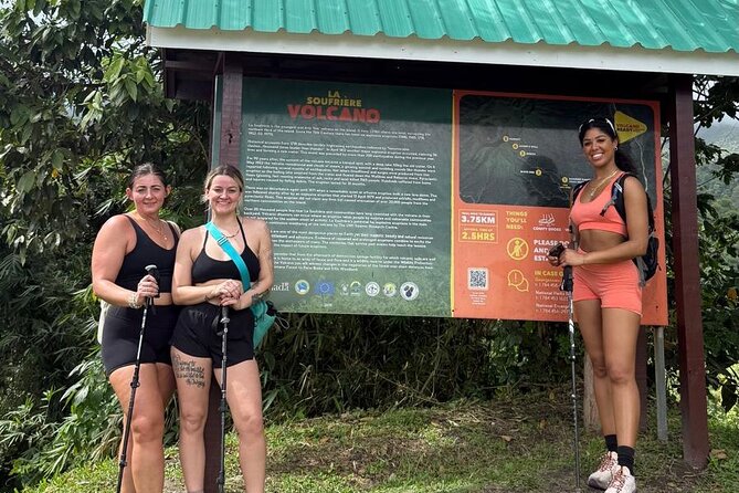
- Start at 9:00 am from Mona’s Fine Cuisine Wharf in Kingstown, with the activity designed to end back at the meeting point.
- About 6 hours total, with the ascent to the crater taking roughly a 3 ¼-mile climb.
- Strong fitness needed: steep volcanic ridges and a climb that goes straight up.
- Views depend on visibility—clear conditions may let you see St Lucia’s Pitons in the distance.
- Food and drinks are part of the price: rum punch, bottled water, fruit juices, local fruits, and snacks.
- Weather matters: the experience requires good weather, and if it’s canceled for poor conditions you’ll get a different date or a refund.
Why La Soufrière from Kingstown feels like a real St Vincent day
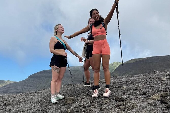
La Soufrière is not a gentle walk in the park. It rises majestically above St Vincent, with the latest major eruption noted as April 2021, and that recent volcanic activity still shows up in the way the terrain feels underfoot—steep, rocky, and very much alive.
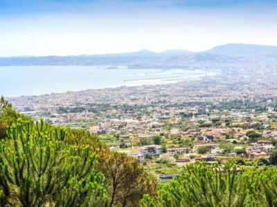
What makes this hike special is the geography. As you gain altitude, you’re moving from the windward side toward a high crater zone, then potentially down toward the leeward coast. On a clear day, that setup lets you view both Georgetown (Windward) and Chateaublair (Leeward) from high above, which is a different kind of island sightseeing than staying at sea level.
You can also read our reviews of more tours and experiences in Kingstown.
Starting at Mona’s Fine Cuisine Wharf: timing, pickup, and what the day looks like
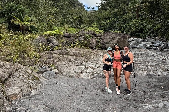
You’ll meet at Mona’s Fine Cuisine Wharf in Kingstown and start at 9:00 am. Topdawg Tours also offers pickup, which matters because the biggest time-saver on a hike like this is simply not having to hunt down transport while you’re ready to climb.
Plan your day around the fact that this is a full, active block: the tour runs about 6 hours. That means you’ll want to treat the hike as the centerpiece of your day, not a quick side mission between lunch reservations. If your schedule is tight, it’s smart to choose this as your main morning activity and build in buffer time afterward.
Group size is capped at 15 travelers, and that tends to make a difference on a steep hike. Smaller groups mean less bunching up on narrow trail sections, fewer slowdowns, and a guide who can actually manage pacing for everyone.
From the windward coast to the trailhead: plantations, heat, and getting your rhythm
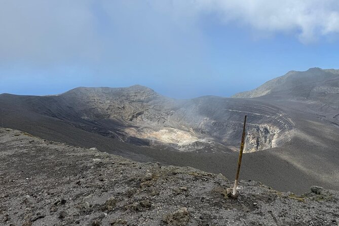
The tour route begins along the windward coast as you travel through banana and coconut plantations before the walking trail begins. This first stage is valuable because it sets the tone: you’re easing into the day, not jumping into the steepest part immediately.
As you move from plantation edges toward the start of the foot trail, you’ll start transitioning from easier walking to more serious elevation gain. That’s why leaving early is emphasized—if you start too late, the climb becomes harder than it needs to be. A morning start also helps with visibility, which is crucial if you’re hoping for the longer-distance views.
One practical tip: treat this early portion as your warm-up. Get water in you, keep your pace steady, and don’t try to sprint to the first viewpoints.
The crater climb: steep volcanic ridges, bamboo shade, and how to pace it

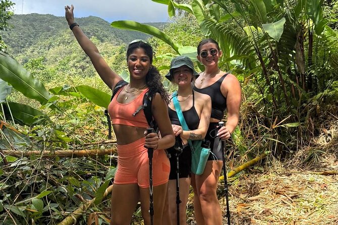
The ascent follows a trail that leads along steep volcanic ridges. The hike is described as verdant with bamboo and tropical trees, which is good news because shade can make a steep climb feel less brutal. Still, the big story is the climb itself.
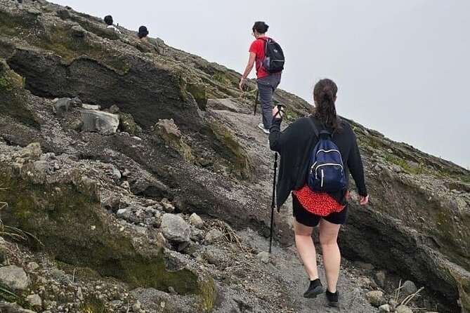
You’re looking at an ascent of about 3 ¼ miles to reach the crater area. That distance doesn’t sound scary on a map, but in practice it’s a steep, straight-up effort. One guest described it as difficult and noted a 4,400-foot hike, with the weather turning bad before they could continue all the way—an important reminder that the “hard part” isn’t only the incline, it’s also conditions changing while you’re high and exposed.
How to pace it:
- Go slow on the uphill. Save your legs for later.
- Use short stops to catch your breath, not long breaks that cool you down.
- Keep an eye on footing. Volcanic trail can be unforgiving if you rush.
If you’re used to moderate hikes, this will feel more like a workout. If you’re not used to hills, you’ll still likely finish—but you’ll probably need to focus on pace and patience rather than speed.
Views at altitude: Georgetown, Chateaublair, and the long-distance Pitons option
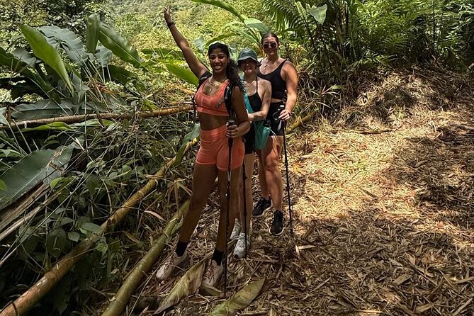
At roughly 4,000 feet above sea level, you’ll enjoy a spectacular panorama across the island’s coasts. The key view targets are:
- Georgetown on the Windward coast
- Chateaublair on the Leeward (west) side
On days with good visibility, the view can go even farther. You may be able to see the Pitons in St Lucia in the distance. That’s the kind of sight that makes you understand why people plan their timing around weather.
Here’s the honest approach: don’t assume clear views. Plan to earn them with effort, and stay flexible if clouds move in. If visibility is limited, the hike still has value—you’re seeing the volcano’s scale and walking through an active tropical environment—but the “big panorama moment” may be shorter or clouded over.
Continuing to the west side and Chateaublair: worth it, but the descent can bite
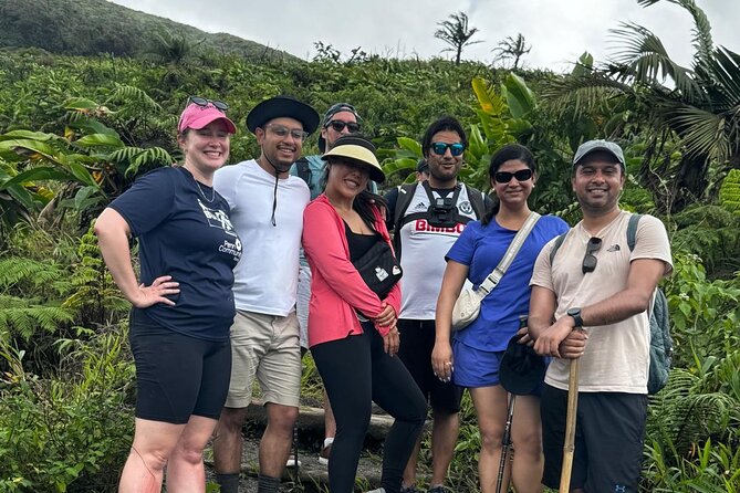
The expedition can continue down the west side trail and potentially terminate 10 or 12 miles on in Chateaublair. In other words, the day can extend beyond the crater viewpoint depending on how the route is run and what the conditions allow.
Even without knowing every route detail in advance, one thing is clear: going down is not a victory lap. A guest pointed out that after a hard uphill climb, the descent was even more difficult. That matches how steep volcanic trails often feel—your quads do the heavy lifting, and footing demands attention.
If you choose a route that includes the longer descent, pack your mindset for tired legs:
- Expect slower steps on the way down
- Take care on uneven ground
- Don’t hold back on snacks and water earlier in the day, because you’ll feel it later
What’s included on Topdawg Tours: rum punch, fruit, and hydration you’ll actually use
This is one of the more satisfying parts of the tour: you’re not just dropped off with a guide and left to figure it out. The package includes:
- Rum punch
- Bottled water
- Fruit juices
- Local fruits and snacks
- A guide
That matters for two reasons. First, hydration and quick carbs help on an all-morning climb where you’re burning energy fast. Second, the included snacks and drinks turn the experience from purely physical into a full “day out” feel—especially after a tough segment.
A small practical note: even with water included, bring your own sensible pacing. Don’t chug early and then forget later. Sip steadily and use snack breaks strategically.
Price and value: what $95 buys you on this hike
At $95 per person, this tour is positioned as a guided, all-day hike experience with food and drinks included. That price isn’t just paying for someone to point at a trail—it’s paying for logistics (meeting point pickup is offered), a guide, and the ability to keep a steady rhythm without you having to plan every step.
The value also improves because of the group cap of 15 travelers. In steep terrain, smaller groups tend to make the day smoother. You’re less likely to end up stuck behind a wide cluster of people moving at different speeds.
One line item to keep in mind: entrance fees are not included. That’s the only clear cost-related surprise mentioned in the details. If you want the simplest possible budget, set aside a little extra in case there’s a fee you’ll be expected to cover.
Fitness and weather: the two things that decide how the day goes
This tour is described as for energetic hikers and it explicitly says travelers should have a strong physical fitness level. The ascent is steep, and the climb to the crater area is about 3 ¼ miles. That’s not inherently long in distance terms, but it is intense in slope terms.
Weather is the other make-or-break factor. The experience requires good weather, and if it’s canceled because of poor conditions, you’ll be offered a different date or a full refund. That matters because volcano hikes can be dangerous when trails get slick, visibility drops, or winds pick up while you’re exposed.
One review detail really lines up with what you should plan for: when weather turned bad, a guest reached about 3,300 feet and had to turn back, and even the downhill portion became more difficult. So while you can go in hoping for the summit view, you should also mentally prepare for a turnaround if conditions worsen.
Who should book this La Soufrière hike (and who should skip it)
This hike is a great fit if you:
- Want a guided volcano experience in St Vincent
- Are comfortable with steep uphill walking
- Care about viewpoints over both coasts: Georgetown and Chateaublair
- Prefer smaller group hikes (15 max)
You may want to skip or choose something gentler if you:
- Struggle with steep climbs
- Don’t handle sudden weather changes well
- Expect a mostly flat “scenic walk” rather than a workout
If you like nature, but you also like earning your views, this is your kind of day.
Should you book La Soufrière with Topdawg Tours?
I think you should book if you’re looking for a guided climb with real payoff—high altitude views, tropical trail character, and included snacks and drinks that help you stay strong. The price feels fair for the combination of guide time, food, and the fact that the group is capped at 15.
You might hold off if you’re not ready for steep terrain or if your trip has no flexibility. Weather is a big variable here, and the tour depends on good conditions. If you can handle that reality, La Soufrière becomes more than a hike—it’s a clear, dramatic way to see St Vincent from above.
FAQ
What time does the La Soufrière hike start, and where do I meet?
The tour starts at 9:00 am at Mona’s Fine Cuisine Wharf in Kingstown. The activity is scheduled to end back at the meeting point.
How long is the hike?
The duration is approximately 6 hours.
What’s included in the $95 price?
The tour includes rum punch, bottled water, fruit juices, local fruits and snacks, and a guide.
Is pickup available, and what’s the group size?
Pickup is offered, and the tour has a maximum of 15 travelers.
How fit do I need to be?
This hike requires strong physical fitness. It includes a steep ascent to the crater area, about 3 ¼ miles, and it’s described as a day’s journey for energetic hikers.
Are entrance fees included, and what happens if weather is bad?
Entrance fees are not included. The experience requires good weather, and if it’s canceled due to poor weather you’ll be offered a different date or a full refund.