REVIEW · MARSEILLE
The Urban Hike of Marseille
Book on Viator →Operated by La Randonnée Urbaine de Marseille · Bookable on Viator
Marseille hits different when you earn the views on foot. This 10-kilometer urban hike runs from the Old Port up to Notre-Dame de la Garde, with a slow, thoughtful pace and plenty of shade. It’s a sporty way to learn the city’s geography, architecture, and port culture without riding a bus.
Two things I really like: the route is built for comfort, with eight water points and strategies for heat (early morning or late-afternoon time slots, shaded stretches, wooded pauses). And you get small-group attention (max 10 people), plus a guide like Olivier—funny, sharp on facts, and proud of his Marseille.
One possible drawback: you’re going to walk hills and stairs. Even with the slow pace and breaks, bring good walking shoes and expect the return to feel steep.
In This Review
- Key highlights at a glance
- Marseille on Foot: What This Urban Hike Is Really Like
- Start at 19 Quai des Belges, Then Get Oriented at the Old Port
- Vallon des Auffes and the Corniche Kennedy: Fisherman Houses and Sea-Front Perspective
- Palais du Pharo and Parc Valmer: Napoleon III-Era Influence to Mediterranean Trade Stories
- Bompard and the Hill Paths: From Quiet Streets to Notre-Dame de la Garde
- Malmousque and the Cove Walk: A Calm Seat Between Neighborhood Life and the Sea
- The Steep Return via Boulevard André Aune: The Work Pays Off
- Old Port Finale: Where to Drink, Sit, and Compare Notes
- Price and Value: What $41.27 Buys You in Real Terms
- What to Wear, What to Bring, and How to Time It
- Who This Walk Suits Best (and Who Should Rethink It)
- Should You Book This Urban Hike?
- FAQ
- FAQ
- How long is the Urban Hike of Marseille?
- How far do you walk?
- What does the tour cost?
- What’s the group size?
- Where does the tour start?
- Where does the tour end?
- Do I need to buy entrance tickets for stops?
- Is it good for hot weather?
- Is the experience suitable for most travelers?
- What if the weather is bad?
- Are service animals allowed?
Key highlights at a glance
- 8 water points and heat planning (including sun cream and shaded zones)
- A small group of up to 10 for a more personal walk-and-talk experience
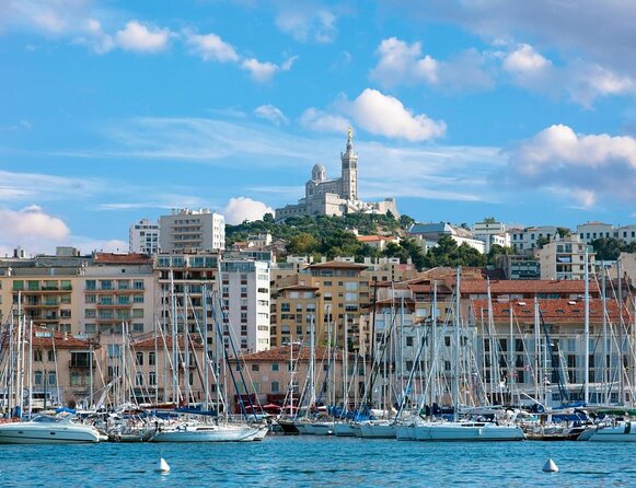
- Old Port to 360° views from Notre-Dame de la Garde without tourist traffic overload
- Photo stops with real meaning, like Vallon des Auffes and Corniche Kennedy
- Second Empire clues you can spot in real buildings, not just in theory
- Olivier-style storytelling, with humor plus practical local context
Marseille on Foot: What This Urban Hike Is Really Like
If you want Marseille’s story, don’t start with a postcard. Start with your feet.
This is a 3 hours 30 minutes walk that covers about 10 kilometers, moving through neighborhoods cars and big buses can’t reach easily. The tour keeps a slow rhythm, aiming to balance exercise with sightseeing. You’re not rushing from landmark to landmark; you’re following a route that shows how Marseille sits between sea and hills—and how people built their lives around that shape.
The group stays small (up to 10 travelers), which matters here. With fewer people, your guide can point out details you’d miss on your own: how housing changes by district, where the city turns from working-port energy to lookout views, and which staircases are worth your time.
And yes, it’s designed with hot-weather reality in mind. The plan includes sea breezes, shade, and wooded park breaks, plus sun cream available for you. The idea is simple: keep you moving, but make it feel doable.
You can also read our reviews of more tours and experiences in Marseille.
Start at 19 Quai des Belges, Then Get Oriented at the Old Port
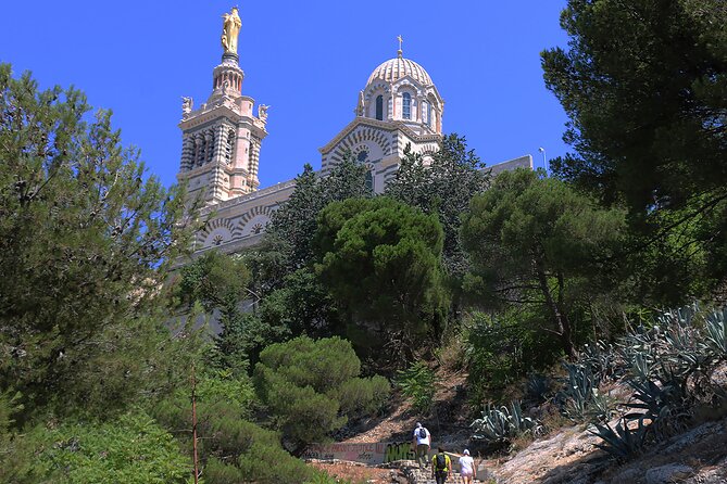
Most good Marseille days begin at the water. This one starts at 19 Quai des Belges (13001), and from there you head straight to the Le Vieux Port area.
At the Old Port, your guide sets the tone: who they are, what you’ll see on the hike, and the kind of Marseille you’ll be walking through. Then you zoom out historically—how Marseille grew around the port and why the sea matters to daily life, culture, and identity.
This opening is more than an intro. It gives you a framework for the rest of the walk. When you later pass coves, terraces, and lookout points, you’ll understand why these places exist where they do. You’re not just collecting views—you’re reading the city’s logic.
Vallon des Auffes and the Corniche Kennedy: Fisherman Houses and Sea-Front Perspective
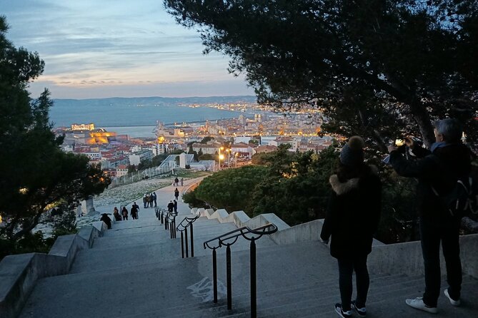
From the Old Port, the route slips toward calmer, more intimate waterfront scenery.
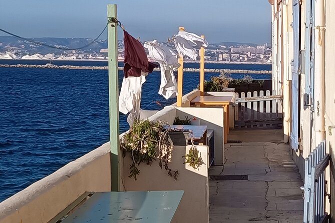
First stop worth slowing down for: Vallon des Auffes. This area is famous for preserved fisherman houses—the kind of buildings that look like they’ve always been there, because in parts, they basically have. You’ll get a feel for how Marseille managed to preserve a pocket of traditional life even as the city boomed.
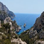
Then you move onto La Corniche Kennedy, a classic promenade style walk with a long, distant line of sea. It’s a useful change of pace after tighter streets: you get that horizon perspective that helps you understand Marseille’s coastline as a whole.
Tip for photos: if you care about pictures, the combination here—historic homes first, then sea-line sighting—lets you tell a real story in your camera roll instead of taking the same view from five angles.
Palais du Pharo and Parc Valmer: Napoleon III-Era Influence to Mediterranean Trade Stories
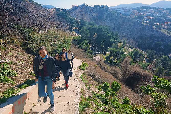
Next, the hike shifts into greenery and larger viewpoints.
At Palais du Pharo, you get a break from street heat and a chance to look back toward the Old Port and the Grand Port. The history of the palace is part of the walk: it was erected by Napoleon III, and your guide connects that to how Marseille’s urban development moved forward during the Second Empire period.
That matters because Marseille can look “random” if you only see it in photos. But on foot, you start noticing patterns—who held power, what kinds of buildings arrived, and why the city changed shape in visible waves.
Then you head to Parc Valmer. This is the big green bowl of the route, where the walking turns softer and the setting turns quieter. Here, the story moves from big-name political influence to economic change: the area’s history traces from olive oil trade in the 19th century to today’s tourism era. It’s a neat reminder that Marseille’s economy has always been tied to movement—goods, people, ideas—just like its geography.
Bompard and the Hill Paths: From Quiet Streets to Notre-Dame de la Garde
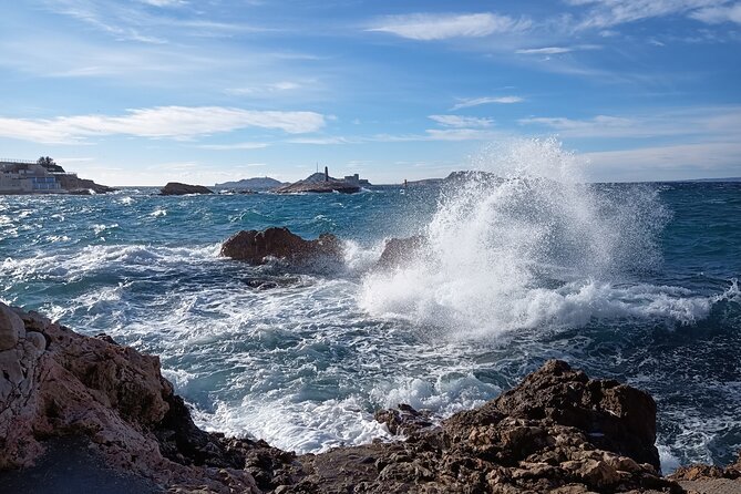
The vibe changes again when you start climbing away from the direct sea line.
You’ll spend time on the kind of paths that feel almost too local for tourists—like the Chemin du Vallon de l’Oriol route—leading through the district of Bompard. This is where you get architectural and neighborhood evolution explained in a way that actually sticks: how the housing style changes, what bastides in the area represent, and how the district grew over time.
Eventually, the route works you gently toward the big finale: Notre-Dame de la Garde.
This is the highlight for a reason. The basilica building itself is striking, but the main payoff is the square and the 360° views. On a clear day, you can see the city’s structure laid out—monuments, major points of interest, and the way Marseille spreads across hills and toward the water.
More importantly, this viewpoint is where your earlier learning becomes useful. Once you’ve seen the Old Port and the coves, the panorama stops being generic scenery and turns into geography you can name.
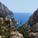
Malmousque and the Cove Walk: A Calm Seat Between Neighborhood Life and the Sea

After all the viewpoint intensity, the hike returns to something softer and more local at Anse de Malmousque.
This part moves through Malmousque, with its cove and a smaller port feel. It’s described as a calm place—and that’s exactly what it does for the walk. You’re not chasing the highest spot now. You’re reconnecting with Marseille’s everyday seaside living.
You’ll also get a historical lens on why this place feels distinct—how the district carries Greek accents and how Marseille’s urban growth shaped buildings and fishermen’s habitat over the last couple centuries. And you’ll notice a practical truth in the way locals use the shoreline: you don’t need to be in a “tourist district” to feel the Mediterranean pulse.
The Steep Return via Boulevard André Aune: The Work Pays Off
Every good Marseille hike has a finish that makes you earn it.
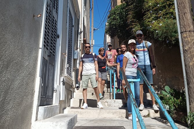
The walk heads back toward the Old Port along Boulevard André Aune, known for being very steep. This is the part where you’ll feel your legs—especially if it’s warm. But it’s also part of what makes the hike rewarding: you get a view from above, then you start descending back into the city center atmosphere.
Your guide adds the human angle here—fun anecdotes and explanations tied to the architecture of central Marseille. It’s a good moment to slow your pace without stopping. When you hit that final stretch toward the Old Port, you’ll feel like you really walked Marseille instead of just toured it.
Old Port Finale: Where to Drink, Sit, and Compare Notes
The tour ends back at the Old Port, right back at the 19 Quai des Belges meeting point area.
At this stage, you’ve already covered key Marseille themes: port history, sea-and-hill geography, neighborhood character, and the way architecture reflects long shifts in power and economy. The ending is intentionally simple—smiles, then time to grab something cold or warm on the terrace life around Cours Estienne d’Orves.
If you’re hungry, this is where you cash in. You’ll be in the right place to eat and still feel like you understand what you’re looking at.
Price and Value: What $41.27 Buys You in Real Terms
The price is $41.27 per person for about 3.5 hours and roughly 10 kilometers of guided walking.
That can look modest or steep depending on your travel style, so here’s the value logic:
- You’re not just paying for commentary. You’re paying for a structured route that reaches places that are described as unreachable by car or bus, meaning you’re getting access to foot-only terrain and hill paths.
- The tour includes practical heat management: eight water points, sun cream, slow pace, and shaded breaks. That’s not a tiny perk on a Mediterranean day.
- Small group size (max 10) increases the odds you’ll actually notice details rather than just hear facts.
Also, the stops are shown as admission free, which suggests you’re not stacking extra entry fees on top of the tour price. If you like value that stays predictable, this is a strong fit.
What to Wear, What to Bring, and How to Time It
This hike works for most people, but you should plan for movement.
Wear comfortable, supportive walking shoes. The route involves hills and stairs—most notably on the approach and around Notre-Dame de la Garde—plus a steep return segment on the way back to the Old Port.
Bring sun protection even though sun cream is provided. In Marseille heat, you want options. The tour covers water and shade, but your body still does the walking.
If you’re booking for weather comfort, lean into the time slots designed for heat relief: early morning or end of afternoon. You’ll also benefit from the built-in approach: the guide slows the pace, uses shade, and builds in breaks in parks.
Who This Walk Suits Best (and Who Should Rethink It)
This is a good match if you:
- want Marseille’s story through neighborhoods, not museum rooms
- like walking with context—architecture, geography, and history explained as you pass it
- want views without a frantic pace, plus lots of photo moments
- enjoy a guide who keeps things light while staying factual—Olivier is repeatedly described as humorous and knowledgeable
It might not be your best fit if you:
- have limited tolerance for steep streets and stair climbs
- need the tour in a specific language and haven’t confirmed it before you go
One thing to watch: language expectations. There’s at least one recorded conflict where English wasn’t available the way the booking expected, with the provider responding that the guide language situation needs to be respected. If you rely on English, confirm ahead.
Should You Book This Urban Hike?
If you’re visiting Marseille for the first time and you want a fast path to understanding the city’s shape, this is a smart choice. It’s short enough to fit half a day, small enough to stay personal, and planned enough to handle the Mediterranean realities like sun and walking stamina.
Book it if you want Old Port orientation, meaningful waterfront stops like Vallon des Auffes, a big-picture view from Notre-Dame de la Garde, and an ending back where you can eat and relax.
Skip it (or reconsider) if steep hills are a dealbreaker for your mobility, or if your main requirement is a specific language that you haven’t confirmed.
FAQ
FAQ
How long is the Urban Hike of Marseille?
It lasts about 3 hours 30 minutes.
How far do you walk?
The hike is about 10 kilometers.
What does the tour cost?
It’s $41.27 per person.
What’s the group size?
The tour has a maximum of 10 travelers.
Where does the tour start?
The start point is 19 Quai des Belges, 13001 Marseille, France.
Where does the tour end?
It ends back at the meeting point (near the start area).
Do I need to buy entrance tickets for stops?
The stops listed show free admission, and you’re using a mobile ticket for the experience.
Is it good for hot weather?
The tour is designed for heat: there are eight water points, shaded areas, wooded park breaks, and sun cream is available. The timing is often planned for early morning or late afternoon.
Is the experience suitable for most travelers?
The experience notes say most travelers can participate, but the route includes walking, stairs, and a steep return.
What if the weather is bad?
If it’s canceled due to poor weather, you’ll be offered a different date or a full refund.
Are service animals allowed?
Yes, service animals are allowed.