REVIEW · TENERIFE
Hike above Masca through relict woods. SMALL GROUPS.
Book on GetYourGuide →Operated by Trektenerife · Bookable on GetYourGuide
A laurel-forest hike beats the beach. This trek above Masca threads the Teno Mountains on a route built for views and quiet nature time, not crowds. You’ll start with pine and volcanic sightlines, then work your way toward Tenerife’s famous relict laurel forest ecosystem.
Two things I especially like: the group stays small (limited to 6), so the pace feels comfortable and the guide can talk with you—not at you. And the views come in layers: Teide and the 1909 eruption area early on, then Masca Gorge, ocean, and the winding mountain road from high lookouts, plus a quieter “hidden” segment for extra breathing room. I also liked that the guide I got, Eugenio, was patient and tuned in to safety.
One drawback to flag: this hike isn’t for people with vertigo or a fear of heights, and some descents may require using hands for assistance. If you’re cautious on uneven trail or steep spots, you’ll want to think carefully before booking.
In This Review
- Key highlights worth planning around
- Entering The Teno Mountains Above Masca
- From pine forest to Teide views and the 1909 eruption area
- The 1300-meter viewpoint: ocean, Masca Gorge, and the serpentine road
- Along the mountain slope: scenic overlooks and historical markers
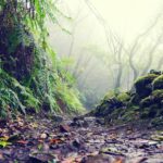
- A slow walk through the relict laurel forest
- The secret trail: where the views feel closer and quieter
- Panoramic outlooks with minimal exposure
- How hard is it, really? Pace, distance, and the trail reality
- This hike is not for everyone
- What to bring for Tenerife microclimates (and changing weather)
- Meals, drinks, and timing: plan your fuel like a local
- Getting dropped off around Tenerife: convenient if you’re exploring
- Price and value: why $80 can make sense here
- Should you book this hike above Masca?
- FAQ
- How long is the hike?
- What’s the distance and elevation gain?
- Is there food included?
- What’s the group size?
- What language is the guide available in?
- Do I need trekking poles?
- Is it okay if I have vertigo or a fear of heights?
Key highlights worth planning around
- Ancient laurel forest: a rare relict ecosystem shaped by Tenerife’s microclimates
- Teide and the 1909 eruption viewpoint: you’ll get volcano context early
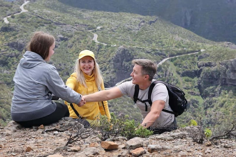
- High lookouts above Masca: panoramic views over the gorge, ocean, and the winding road
- A secret trail segment: more solitude, more dramatic angles
- Small groups (max 6): easier pacing, easier conversations, less congestion
Entering The Teno Mountains Above Masca
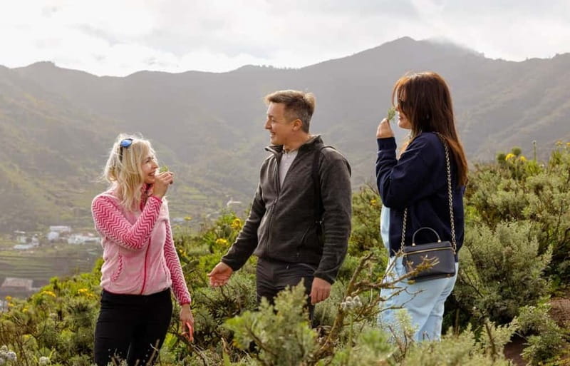
This hike is one of those Tenerife days that feels like it’s doing two trips at once. You get the big-island drama—volcano angles, ocean views, and Masca down below—then you slow down inside a cool, sheltered forest that’s rare enough to feel like a different planet.
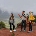
The small-group format matters here. With a limit of 6 participants, you’re not constantly waiting for someone to catch up or stepping around a crowd for photos. That also means the guide can keep an eye on foot placement and trail conditions, which matters on rocky sections.
And yes, Eugenio’s style comes through. In my experience with tours like this, the difference between a good hike day and a frustrating one is how the guide handles pace, timing, and safety talk. This one is built for that kind of calm, not speed.
You can also read our reviews of more tours and experiences in Tenerife.
From pine forest to Teide views and the 1909 eruption area
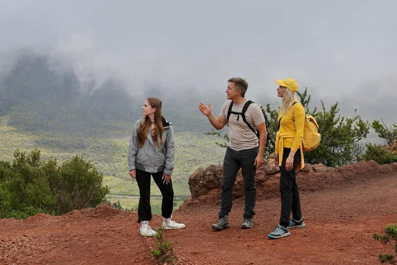
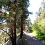
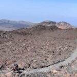
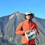
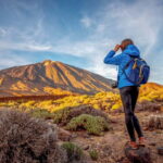
You’ll begin in a pine forest with a view toward the Teide volcano, including the area associated with the last eruption in 1909. This early segment is a smart setup: you’re warming up while the guide helps you “read” what you’re seeing—mountains on one side, ocean on the other, and volcanic terrain shaping the whole island.
After about 70 minutes of walking, you reach an altitude of around 1300 meters. Don’t expect this first stretch to be a stroll. The goal is to get you up high enough for the big panorama without dragging it out all day.
If you like hikes that explain the scenery as you go, you’ll appreciate this start. It gives the rest of the day a storyline: why the island looks the way it does, and why microclimates change the feel of your hike as you climb and then transition into forest.
The 1300-meter viewpoint: ocean, Masca Gorge, and the serpentine road
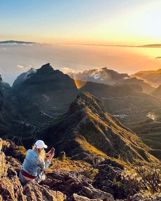
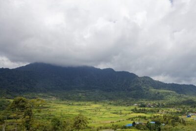
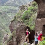
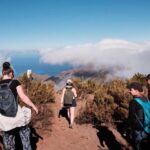
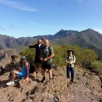
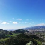
Once you’re at that 1300 m viewpoint, you get a multi-layer view that’s hard to beat. You’ll see mountains and the ocean, the Masca Gorge, and the famous road that snakes through the Teno mountain area. Standing above it, it looks both dramatic and weirdly peaceful—those tight switchbacks are what cause traffic headaches when you’re driving down there, but up here you’re just watching the line of the road cut through the cliffs.
This is also the part of the day where you’ll get most of your photo moments. The tour is built with pauses for pictures at key lookouts, so you’re not just hiking and hoping you catch a clear shot.
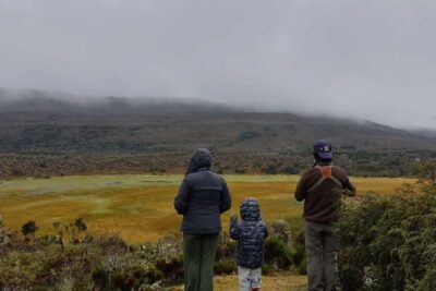
Timing is another quiet advantage. As you move from pine forest into higher viewpoints and then along the main route, the island can change fast. Clouds can roll in on Tenerife, and if they do, it can make the gorge and peaks look even more dramatic. You won’t control the weather, but you can be ready for it—more on packing later.
Along the mountain slope: scenic overlooks and historical markers
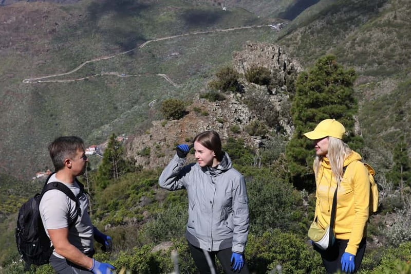
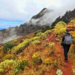
From the main viewpoint, you head along the mountain slope on the main route. This section is where the hike turns from “climb for views” into “walk for variety.” You’ll pass scenic overlooks and historical landmarks along the way, so there’s more to notice than just what’s in front of you.
The slope walking is also a good place to test your comfort level. You’re dealing with uneven ground and elevation changes, and the guide will keep you together as conditions require. The distance for the whole experience is about 7–7.5 km with roughly 300 meters of elevation gain, which sounds reasonable on paper—but Tenerife trail can be steep and slick, especially if fog comes in.
This is also where your hiking shoes matter. If you’re wearing anything soft or worn-out, you’ll feel it here more than on a flat path.
A slow walk through the relict laurel forest
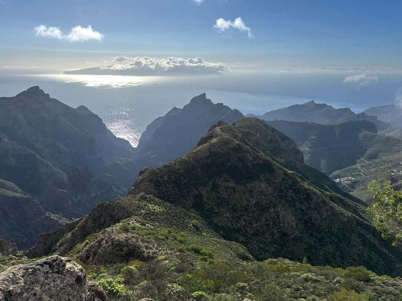
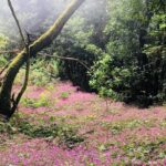
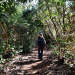
Then comes the favorite part for many people: the walk through the relict laurel forest. This ecosystem is a rare treasure on Tenerife, created by the island’s unique climate patterns. In practice, that means the air often feels different—cooler, quieter, and more sheltered from the stronger sun you might have felt earlier.
What I like about this transition is how it resets your day. You start with big volcanic views and wide-open air, then you move into a dense, living tunnel of plants and shade. It’s not just pretty. It changes your pace and your attention.
You’ll spend about one hour on the segments labeled for hiking and sightseeing/walk time, but the forest section is typically the part you remember afterward. It’s where the route stops feeling like a checklist and starts feeling like a nature experience.
Also, keep an eye on footing. Forest trails can be uneven, and the guide’s “hands sometimes needed on descents” note isn’t just legal paperwork. This hike is manageable for the right people, but it’s still a trail, not a paved walkway.

The secret trail: where the views feel closer and quieter
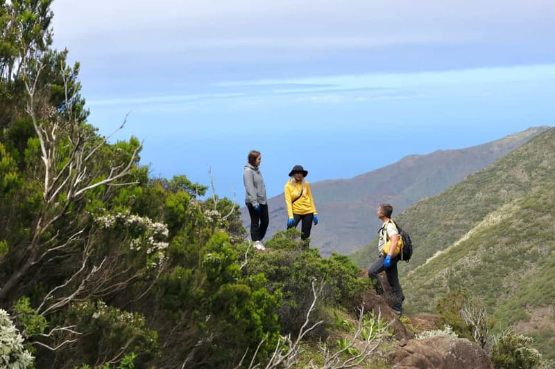
One of the standout promises for this tour is exclusive access to hidden trails, and that shows up as a dedicated segment sometimes described as a “secret trail” or “hidden gem.” This part is typically about one hour of walking, and it’s designed to get you better angles without the same level of congestion you’d expect on more famous paths.
What does that do for your experience? It lets you do what you came for: take in the Teno Mountains from unique vantage points with fewer interruptions. When you’re not constantly waiting on other groups, it’s easier to slow down and notice details like the shape of ridgelines or how cloud layers sit over the ocean.
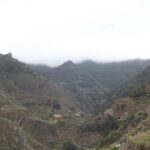
And if the weather has been dramatic, this is when it often pays off. Fog and cloud can roll in fast on Tenerife, and when that happens, distant cliffs and the gorge can go from crisp to misty in minutes. The day can feel cinematic, especially right after you’ve finished taking photos.
Panoramic outlooks with minimal exposure
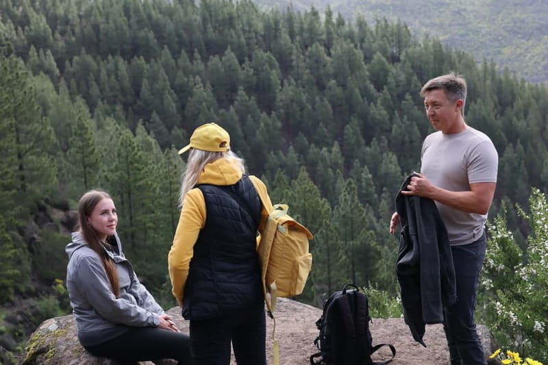
You’ll also get a 360° panoramic view from the main lookout, and the tour notes minimal exposure for that viewpoint. That’s important if you’re deciding between a lot of viewpoint hikes in Tenerife.
Still, don’t ignore the safety guidance. The trek is not recommended if you have vertigo or a fear of heights, and some descents may require using hands. Even if one viewpoint is described as minimal exposure, other parts of the route can still feel exposed if you’re anxious on steep terrain.
If you’re comfortable on hikes with occasional scrambling, this will likely feel like a confidence-builder. If you freeze when you look down, I’d skip it.
How hard is it, really? Pace, distance, and the trail reality
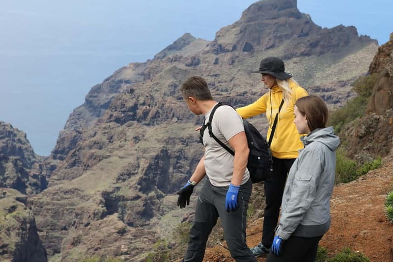
Let’s translate the numbers into something you can feel. The hike is listed around 7–7.5 km total, with about 300 meters of elevation gain. That’s not extreme for a fit adult, but Tenerife’s trail style can make it harder than the distance suggests.
You’ll also have a couple of segments that include viewpoint time and sightseeing walking, so your total time is listed as about 270 minutes (around 6 hours). Some people experience it as a tighter hiking day, especially if the group keeps a steady pace, but plan for a half-day outdoors.
The guide’s job in a small group is to keep you moving without rushing. Eugenio’s approach, as described in feedback you might have seen elsewhere, is exactly what you want: friendly, patient, and safety-focused. When the group is four or fewer people, you can often maintain a comfortable average pace without long stops.
This hike is not for everyone
It’s listed as not suitable for:
- Children under 16
- Pregnant women
- People with back problems
- People with mobility impairments
- People with heart problems
- People afraid of heights
- People with vertigo
- People over 70
If any of those apply, it’s safer to choose a different type of tour.
What to bring for Tenerife microclimates (and changing weather)
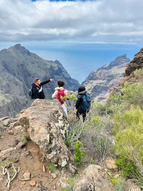
Tenerife’s microclimates are real. Even within one hike, you can move from sunnier pine trails to cooler forest air. That means your “one outfit” plan can fall apart quickly.
Bring:
- Water (you’ll want it, and meals aren’t included)
- Snacks (the tour does not include food)
- Sunscreen (early sun can be strong)
- A hat (wind and sun both show up fast)
- A camera (this route is photo-heavy for a reason)
Also, wear comfortable hiking shoes or sneakers with grip. Trekking poles are included, which is great. Poles take some strain off your knees and help on uneven descents, and they can make the “hands may be needed” note less scary for the parts where you need extra stability.
If you run cold in forests, consider a light layer. You’re not guaranteed fog, but you might feel cooler shade in the laurel section.
Meals, drinks, and timing: plan your fuel like a local
Meals and drinks are not included. That’s normal for hiking tours, but it still affects how you enjoy the day. If you show up hungry, you’ll rush snacks, then feel drained for the later viewpoints and the forest segment.
My practical advice: eat before you go, bring a couple of solid snacks for the middle, and treat photo stops as a chance to sip water, not a chance to forget hydration.
And since the route is about half a day outdoors, plan your next stop afterward. You’ll likely want a meal and a relaxed pace once you’re done.
Getting dropped off around Tenerife: convenient if you’re exploring
At the end, you’ll be dropped off at 10 locations: Restaurante Santiago del Teide, El Sauzal, La Victoria de Acentejo, Puerto de la Cruz, La Orotava, Garachico, Tacoronte, Bajamar, Los Realejos, and Icod de los Vinos.
This is a quiet value-add. You’re not necessarily fighting to get back to where you started, especially if you’re staying in different parts of the north. As long as your pickup/drop-off option matches your base area, it can make the day easier.
Price and value: why $80 can make sense here
The price is about $80 per person for a roughly 6-hour small-group experience. On the surface, that’s not cheap. But you’re paying for several things that add real value:
- Small group size (max 6), which usually improves pace and comfort
- Guided hiking tour plus insurance
- Trekking poles provided
- Exclusive access to hidden trails rather than just a public route
- Photo opportunities at viewpoints, which matters when your “reward” depends on taking the shot in time
For a volcano-and-forest day, where you’re getting both dramatic viewpoints and a rare ecosystem, $80 can feel fair—especially compared to tours that focus only on driving stops or crowded viewpoints with no trail variety.
The biggest reason to judge it as good value is simple: the route is doing more than one job. It’s moving you through different environments, with enough time to enjoy the views instead of just speed-walking past them.
Should you book this hike above Masca?
Book it if you want a high-view hike with real trail time and a rare laurel forest payoff. The combination of volcanic viewpoints, Masca Gorge views, and a secret-feeling trail segment makes this a strong choice for people who enjoy walking and photography.
Skip it if you have vertigo, fear of heights, or any mobility or medical concerns listed by the tour (back problems, heart issues, etc.). Also skip it if you want a fully gentle, paved walk.
If you’re a confident hiker who enjoys nature and wants to see Tenerife beyond the obvious photos, this is a solid half-day plan—and the small-group format is a big part of why.
FAQ
How long is the hike?
The total duration is listed as 270 minutes (about 6 hours).
What’s the distance and elevation gain?
The trek covers about 7–7.5 km and includes around 300 meters of elevation gain.
Is there food included?
No. Meals and drinks are not included, so you’ll need snacks and water.
What’s the group size?
This is a small group with a limit of 6 participants.
What language is the guide available in?
The live guide is listed in English, Spanish, and Russian.
Do I need trekking poles?
Trekking poles are included with the tour.
Is it okay if I have vertigo or a fear of heights?
It’s not recommended for people with vertigo or a fear of heights, and some descents may require using hands for assistance.